


Accessible from the end of June to the end of October
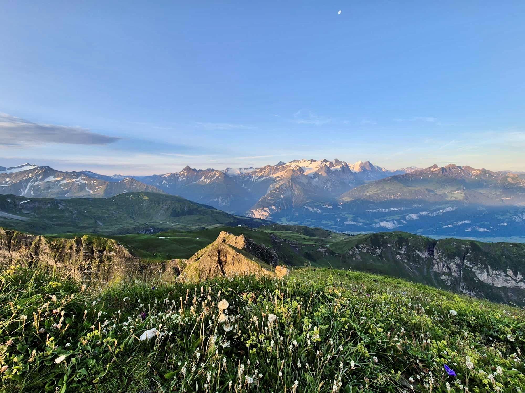
From Käserstatt, the route more or less follows the winter chairlift to the Hochsträss mountain station. The route is now less steep as it climbs through meadows full of blooming alpine flowers and takes a left turn to the ridge of the Fulenberg. You hike around some rocky outcrops on sometimes high steps. There is a short section of path here where the trail descends on both sides. One last ascent and the summit cross is reached.
Sure-footedness and good footwear are required for this hike.
Information
- Start: Käserstatt mountain station, 1,840 m above sea level.
- End: Käserstatt mountain station, 1,840 m above sea level.
- Ascent: 700 vertical meters
- Descent: 700 vertical meters
- Length: approx. 7.3 kilometers
- Duration: approx. 4 hours

Contact us
Cableways Meiringen-Hasliberg AG
Twing 365L
CH-6084 Hasliberg Wasserwendi
Twing 365L
CH-6084 Hasliberg Wasserwendi


